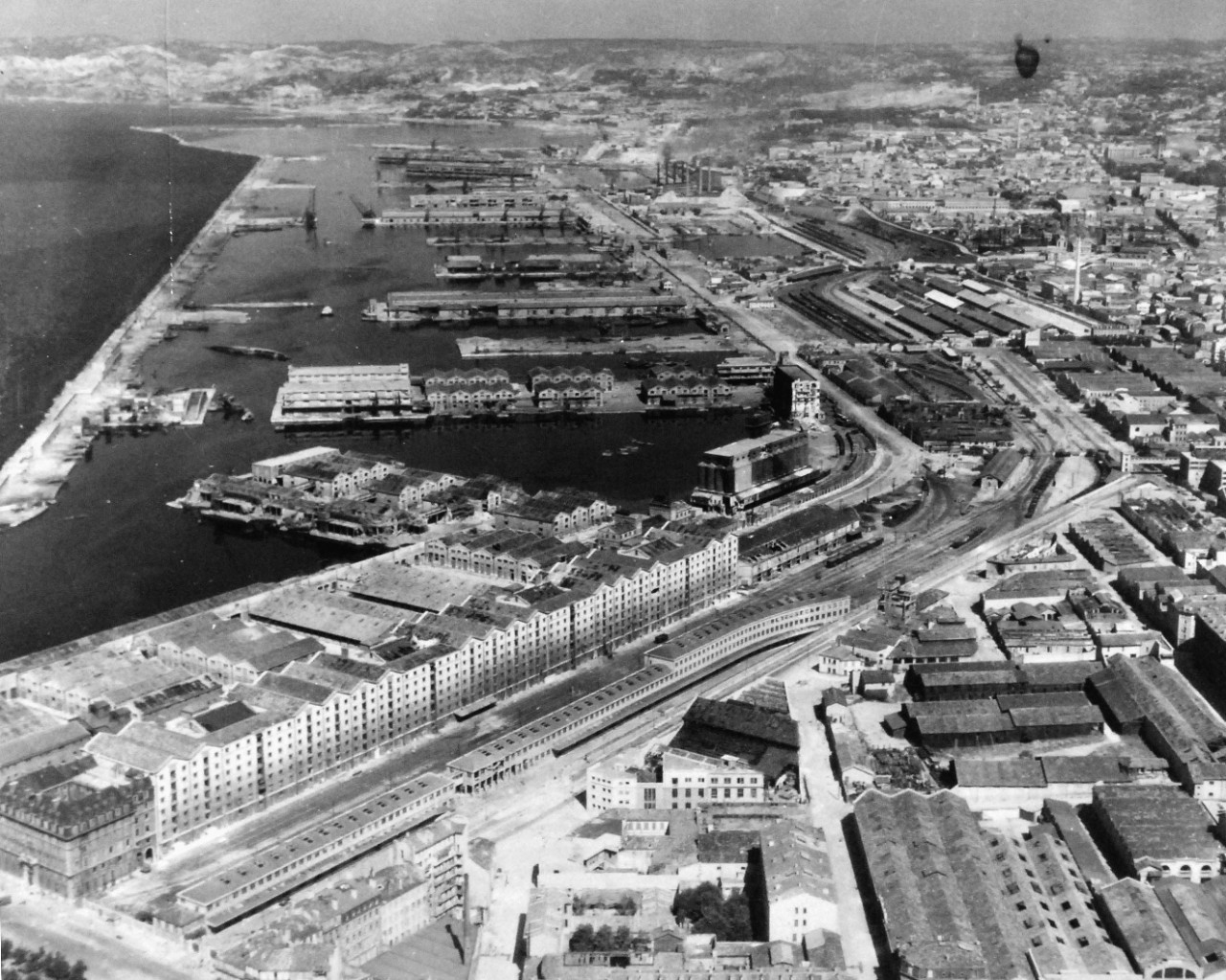
Frequently in my work I find a location for a sunken ships that is simply listed by the name of the harbour in which it sank. As the western Allies progressed on to the mainland of Europe, the Germans often sought to make whatever they left behind as useless as possible. Harbours, of course, were eminently useful to whoever had control of them and so they scuttled numerous ships in an effort to block the harbour and make any cleanup of them a long and arduous process (see Mud, Muscle, and Miracles: Marine Salvage in the United States Navy for a description of some of the challenges).

This was also the case for Marseille, France in the summer of 1944 where, according to a caption of another wrecked ship, 192 ships were wrecked (many presumably sunk). Unless there is a convenient map that displays both the names and the location of each wreck, determining the exact location for each sunken ship can be a monumental challenge.
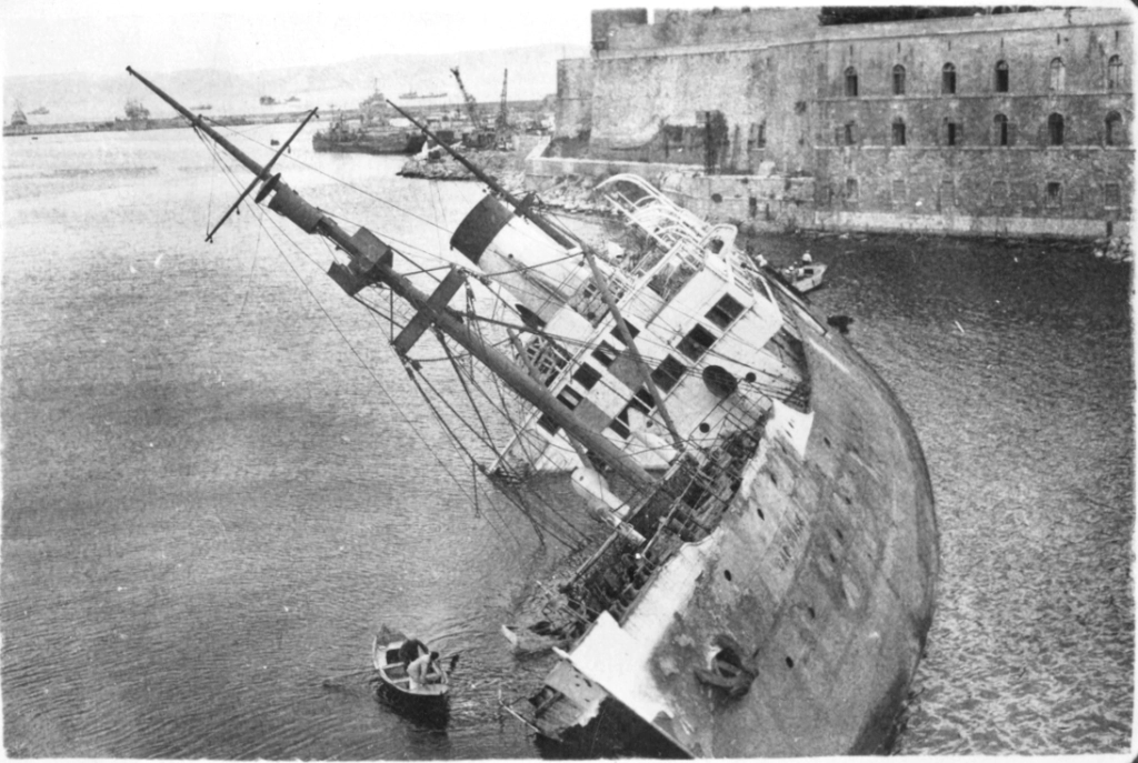
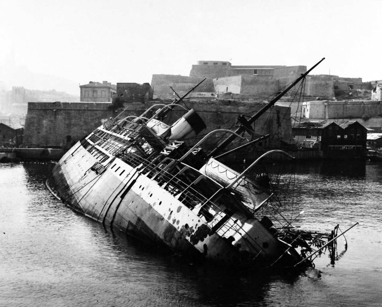
Cap Corse, a French cargo ship appropriated by the Germans during the Second World War, was scuttled by the retreating Germans at the entrance to Marseille’s old port. With a couple of strategically angled photos, it’s exact location was fairly easy to determine.

I came across the image above from another blog site, Inch High Guy, where the ship is identified as the Cap Corse. Subsequently, I found other photos of the same ship from different angles to confirm the sunken ship’s resting place before it was cleared away. Below is one such photo of the same ship, but looking from the other side of the channel.

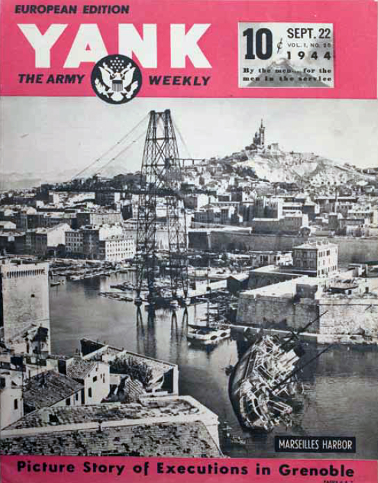
A broader perspective is shown on the cover of Yank magazine below:
